How HUMANAV Heatmaps Empower Humanitarian Fleet Management
18 November 2025 - Humanitarian & Key accounts
18 November 2025 - Humanitarian & Key accounts
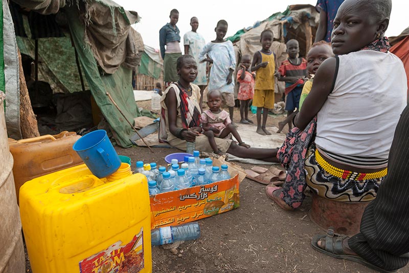
 In humanitarian operations, vehicles are essential lifelines, carrying critical supplies and people to the field.
Managing these fleets in complex and often unpredictable environments requires precision, safety, and efficiency. CLS addresses these challenges through HUMANAV, a platform designed to provide fleet managers with real-time visibility and actionable insights.
With its new Heatmaps feature, HUMANAV turns complex telematics data into clear, operational intelligence, enabling humanitarian actors to make faster, more informed decisions on the ground.
Humanitarian fleet management is inherently complex. Dozens or even hundreds of vehicles operate simultaneously across vast, often remote areas with limited infrastructure and high safety risks. Each journey demands precise coordination, from route planning to driver safety.
To meet these challenges, organizations need more than traditional tracking tools; they require systems that reveal patterns, highlight risks, and enable swift, informed decisions.
This is where advanced visualization and data analysis become essential. By turning raw data into meaningful maps, fleet managers can better understand how their vehicles are being used, anticipate incidents before they occur, and allocate resources more effectively.
In humanitarian missions, where every minute and every liter of fuel counts, this level of insight can directly increase the impact on the ground.
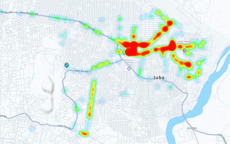
The Heatmaps feature of HUMANAV provides a new way of reading and interpreting fleet activity. Instead of working with isolated data points, fleet managers gain access to a visual representation of movement patterns, operational trends, and critical incidents. This allows them to move from passive monitoring to proactive decision-making.
For example, in Juba, South Sudan, heatmap data highlights areas where harsh driving events are most frequent, drawing attention to locations that require immediate operational or training measures.
This functionality also supports cost control and risk prevention. By revealing unusual stops, speeding, fuel overconsumption, or accident-prone zones, HUMANAV Heatmaps help organizations act before small issues escalate into larger problems.
The platform brings decision-makers closer to the field, aligning strategic oversight with real-world operational realities. It is not only a monitoring tool but a driver of safer, more efficient, and more impactful humanitarian fleet operations.
The Heatmaps feature for humanitarian fleet management is now available within the HUMANAV platform. Humanitarian fleet managers and organizations can already start integrating it into their daily operations to enhance driver safety, reduce operational costs, and gain a sharper understanding of fleet performance.
At CLS, innovation is about empowering humanitarian impact — one insight at a time. Through HUMANAV, we continue to support those working in the field with reliable, data-driven tools that turn visibility into action.